DOWNLOAD
Instructor guide
Standards, objectives, pacing, lesson plans, differentiation, and facilitation notes
DownloadEDUCATION · ENVIRONMENTAL SCIENCE · UAS
A complete, classroom-ready 10-day unit for AP Environmental Science and introductory undergraduate learners—designed to work with or without access to a drone.
OutputsOrthomosaic · point cloud · surface model · map · quantitative evidence
01 / UNIT OVERVIEW
Students learn how drone platforms, sensors, mission design, and image products support environmental monitoring. They practice interpreting RGB and multispectral imagery, calculating and evaluating NDVI, identifying uncertainty, and separating mapped patterns from field-verified explanations.
The culminating task asks student teams to act as environmental consultants: select an appropriate sensing approach, analyze imagery and data, document limitations, and defend an evidence-based recommendation.
02 / LEARNING SEQUENCE
Each lesson builds toward a defensible environmental recommendation while keeping measurement, inference, and uncertainty visible.
Remote sensing, scale, resolution, and environmental questions
Electromagnetic spectrum, reflectance, and spectral signatures
Overlap, altitude, ground sample distance, and mission tradeoffs
Orthomosaics, surface models, calibration, and QA/QC
RGB interpretation, false color, and evidence-based observations
NDVI calculation, interpretation, limitations, and uncertainty
Wetlands, vegetation stress, erosion, habitat, and water monitoring
Privacy, safety, bias, accessibility, and responsible claims
Analyze imagery, select evidence, and develop a recommendation
Present findings, peer review, reflection, and summative assessment
03 / TRY THE INVESTIGATION
Use both visual and numeric evidence. This short experience mirrors the unit's core reasoning routine.
Learning dataset: All imagery and values in this activity are simulated for instruction; they do not represent a real site or field diagnosis.
 Zone AZone BZone CZone DS1S2S3S4S5S6S7S8S9S10S11S12N100 m
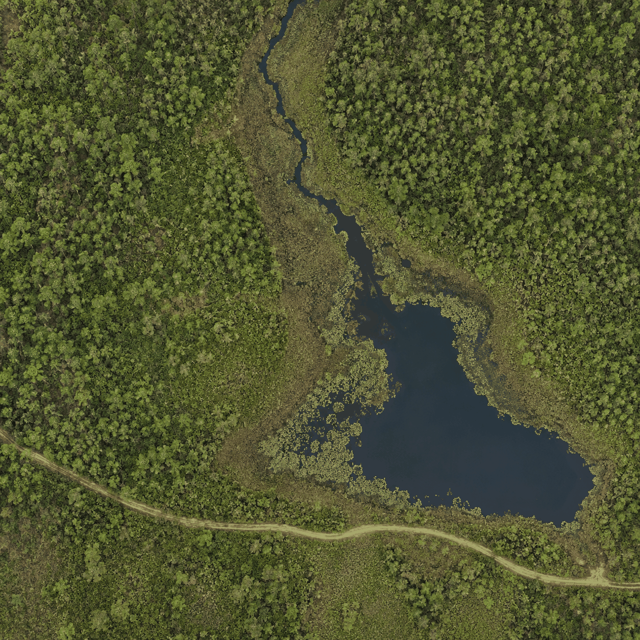
Toggle the image to compare visible land-cover patterns with the vegetation-index response. Dashed sampling-zone boundaries follow the dominant visible cover and transition features; they are instructional strata, not surveyed ecological boundaries. Yellow markers S1–S12 are field sample locations linked to the downloadable dataset.
04 / DOWNLOADABLE RESOURCES
Editable Word resources support local adaptation. The complete package includes every document, visual, and sample-data file.
DOWNLOAD
Standards, objectives, pacing, lesson plans, differentiation, and facilitation notes
DownloadDOWNLOAD
Daily activities, vocabulary, reference sheets, checks for understanding, and capstone pages
DownloadDOWNLOAD
Formative and summative assessments, scoring guidance, model responses, and analytic rubric
DownloadDOWNLOAD
Landing-page copy, resource architecture, and interactive-component specification
DownloadDOWNLOAD
A finished Marshview investigation and capstone model showing the expected evidence, reasoning, maps, field-check plan, and recommendation
DownloadDOWNLOAD
CSV observations for the wetland investigation
Download05 / INSTRUCTIONAL DESIGN
Students interpret products, calculate index values, evaluate evidence, design a mission, and communicate recommendations.
Daily retrieval, annotated imagery, data checks, peer critique, and exit tickets provide actionable evidence before the capstone.
Chunked directions, vocabulary supports, alternative response modes, extension prompts, and a no-flight pathway broaden access without reducing rigor.
Safety, privacy, data quality, uncertainty, and field validation are treated as central scientific competencies.
EDUCATION PORTFOLIO
This unit brings together curriculum design, environmental science, GIS, UAS technology, assessment, and practical scientific communication.